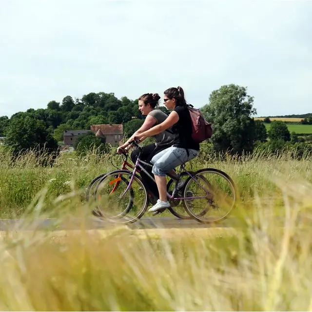
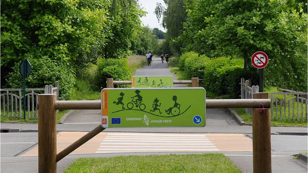
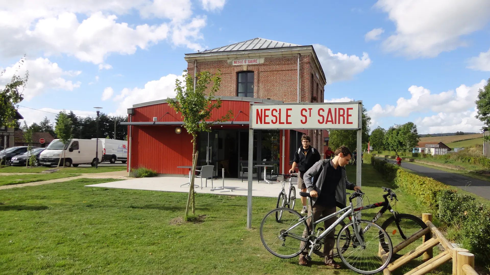
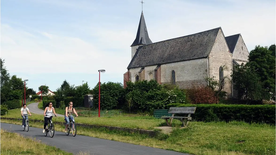
Between Dieppe and Forges-les-Eaux, *more than 45 km of multi-excursion trails open to all : on foot, horse, bicycle, roller-blades... The route, which profits from the layout of the old railway, gives the walker the opportunity to benefit from the landscapes of a preserved site, secure and without cars. Combined with a multitude of path and small roads, making it possiblee to carry out many different loops and circuits. The GreenWay continues in England through East Sussex along the Cuckoo Trail to London. *From Saint-Aubin-le-Cauf to Forges-les-Eaux and from Offranville to Petit-Appeville.
Read more